966-972 CHESTNUT ST 970
Owner Information
SIMON DONNA
970 CHESTNUT ST
NEWTON, MA 02458


Property Details
966-972 CHESTNUT ST 970 is classified as a Residential Condominium (Old style).
The primary structure on this property was built in 1820. There are 1,630ft2 of built area within this property. There is 784ft2 of residential/living space within this property. This property is listed as having 4 rooms.
966-972 CHESTNUT ST 970 is valued at $416,600. The land is valued at $0 and the structures are valued at $416,600.
This property is in Zone SR3. Confirm with local Zoning Board authorities to ensure there are no overlays or other easements on this property.
The most recent deed for 966-972 CHESTNUT ST 970 is recorded at the local registrar in Book 46201, Page 529. 966-972 CHESTNUT ST 970 was last sold on Thursday, September 1, 2005 for $373,000.
Assessment data from fiscal year 2022.
Flood Data
According to the FEMA National Flood Hazard Layer, this property does not appear to be in a flood zone. It may also be in an area not yet reviewed. Nonetheless, confirm this information prior to taking any action.
To view the flood hazards around this property, create a FEMA "Firmette" Map of the area around 966-972 CHESTNUT ST 970.
Broadband Internet Providers
| Provider | Type | Bandwidth (mbps) | |
|---|---|---|---|
| Comcast | Cable | 1000 | 35 |
| VSAT Systems, LLC. | Satellite | 2 | 1 |
| HughesNet | Satellite | 25 | 3 |
| GCI Communication Corp. | Satellite | 0 | 0 |
| RCN | Cable | 1000 | 20 |
| Crown Castle Fiber | Fiber | 0 | 0 |
| Viasat Inc | Satellite | 100 | 3 |
| Verizon New England Inc. | DSL | 5 | 0 |
| Verizon New England Inc. | Fiber | 940 | 880 |
| RCN | Cable | 500 | 20 |
Broadband service provider data from December 2020.
Adjacent Properties
- CHESTNUT ST OFF
Undevelopable Residential Land owned by MANZELLI VINCENT M & MARY S - 15 SUMMER ST
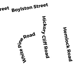
RELIG CHURCH MOSQUE SYN TMPL owned by BUDDHIST COMPASSION RELIEF - 1260 BOYLSTON ST
Dept. of Conservation and Recreation (DCR) - Division of Urban Parks and Recreation (non-reimbursable) owned by METRO WATER & SEWER BOARD AQUEDUCT